Advertisement
)

AT A GLANCE
- Concept: Synthetic Aperture Radar: Satellites emit microwave pulses to map the earth regardless of weather.
- Concept: Phase History: The exact physical position of a radar wave’s peak when it returns.
- Concept: Interferometry: Subtracting two radar images to find sub-millimeter geometric differences in the terrain.
- Concept: Coherence Loss: Microscopic ground disturbances destroy the radar wave alignment, leaving a dark footprint.
The Mechanics of Synthetic Aperture Radar (SAR)
The world depends on overhead satellite imagery to track adversarial military movements. But most people do not realize that standard optical cameras become completely blind at night or under heavy cloud cover. The reason is their strict reliance on visible light, forcing intelligence agencies to use microwave radar to measure the structural reality of the earth.
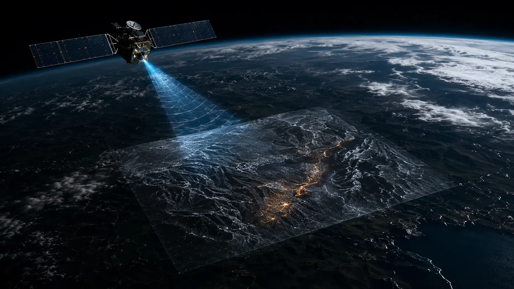
A Synthetic Aperture Radar (SAR) satellite broadcasts microwave energy down to the earth and records the returning echoes. It measures the amplitude, which dictates how bright an object appears, but more importantly, it records the exact phase of the wave. The phase defines the precise physical position of the wave’s peak and trough the exact microsecond it hits the orbital sensor.
Coherent Change Detection (CCD) capitalizes entirely on this phase history. An intelligence satellite takes a radar image of a target site on Monday, and captures the exact same image from the exact same orbital position on Tuesday. The processing algorithm mathematically subtracts the phase data of the first image from the second.
If the terrain remains perfectly undisturbed, the returning waves match exactly, maintaining high coherence. If a heavy truck drives across a dirt field, the tires shift the pebbles and soil by just a few millimeters. This microscopic disturbance alters the geometric distance the radar wave travels, shifting its phase and mathematically destroying the coherence between the two images.
Why Coherent Change Detection Dictates Geopolitics
Geopolitical adversaries increasingly master the art of visual deception. Militaries hide hypersonic ballistic missile launchers under camouflage netting, construct underground nuclear enrichment facilities, and intentionally move forces during heavy storm systems. CCD algorithms strip away these visual countermeasures entirely by analyzing structural geometry rather than optical appearance.
When an underground tunnel boring machine operates, the excavated earth subtly displaces the surface soil above it by fractions of a millimeter. Optical satellites register a perfectly normal desert landscape. A CCD matrix registers a glowing linear fracture across the terrain, physically mapping the subterranean tunnel by measuring the microscopic shifting of the dirt.
This wave physics capability dictates modern border security and nuclear non-proliferation enforcement. During the buildup to recent Eastern European conflicts, commercial SAR providers used coherent change detection to identify armor staging areas hidden deep inside heavy forests. The physical tracks left by heavy tank treads destroyed the radar coherence of the grass, clearly outlining vehicle parking formations through thick tree canopies.
Financial markets now heavily consume this interferometric data. Hedge funds purchase continuous SAR monitoring of strategic commodity assets, such as global copper mines or strategic petroleum reserves. By tracking the microscopic settling of dirt on a mining stockpile, quantitative algorithms calculate exact global supply outputs weeks before official government trade reports arrive.
What Analysts Miss About Radar Wave Alignment
Security analysts frequently evaluate radar satellites based purely on their spatial resolution, obsessing over whether the sensor can see an object the size of a laptop. They completely miss that coherent change detection does not need to resolve the object itself. It only needs to resolve the physical disturbance the object left behind.
A soldier walking across a gravel road leaves footprints too small for a standard optical satellite to identify. However, those footprints shift the orientation of the gravel sufficiently to scatter the returning microwave phase. The CCD algorithm highlights this phase scatter as a high-contrast anomaly, allowing an intelligence officer to track infantry movement simply by observing where the background static of the earth has been temporarily erased.
The Future Trajectory of Orbital Domain Awareness
Next 12–36 Months: Commercial satellite constellations will achieve sub-hourly revisit rates over high-value geopolitical targets. This orbital density will allow intelligence agencies to generate continuous CCD maps, reducing the time required to detect covert border crossings from days down to minutes.
Next Five Years: The integration of edge computing directly into low-earth orbit. Satellites will process the complex interferometric math onboard their own silicon hardware. They will beam finished change detection alerts directly to tactical ground units rather than waiting for ground stations to download raw phase data.
Next Ten Years: Complete multi-static radar federation. Independent commercial and military SAR satellites will network together to bounce radar pulses off targets simultaneously from different orbital angles. This architecture will generate three-dimensional coherence matrices capable of penetrating dense urban infrastructure and mapping interior building vibrations.
What Could Go Wrong: Severe algorithmic degradation from environmental noise. Heavy rainfall, snowfall, or high winds physically shift vegetation and topsoil across massive geographical areas. This natural movement universally destroys radar coherence, blinding the CCD matrix with false-positive alerts across an entire theater of operations.
Most Likely Outcome: Coherent change detection will become the primary mechanism for global pattern-of-life analysis. The mathematical inability to hide physical soil displacement ensures that SAR interferometry will permanently replace optical photography as the absolute baseline of orbital domain awareness.
KEY TERMS
- Synthetic Aperture Radar (SAR): An active sensor that emits microwave pulses to create high-resolution images of the earth’s surface regardless of daylight or weather.
- Phase History: The exact geometric measurement of a radar wave’s peak and trough at the exact microsecond it returns to the satellite antenna.
- Interferometry: The scientific technique of superimposing two different wave patterns to extract highly precise measurements from their resulting differences.
- Coherence: The mathematical correlation between the phase data of two identical radar pulses taken at different times.
- Change Detection Matrix: The computational algorithm that subtracts multiple radar passes to isolate and highlight areas where the physical environment has been altered.
SOURCES
- National Geospatial-Intelligence Agency (NGA) — Applied Synthetic Aperture Radar and Coherent Change Detection
- Institute of Electrical and Electronics Engineers (IEEE) — Phase Interferometry and Sub-Millimeter Terrain Mapping
- Sandia National Laboratories — Synthetic Aperture Radar Algorithms and Environmental Coherence
- European Space Agency (ESA) — Sentinel-1 Interferometric Wide Swath Dynamics